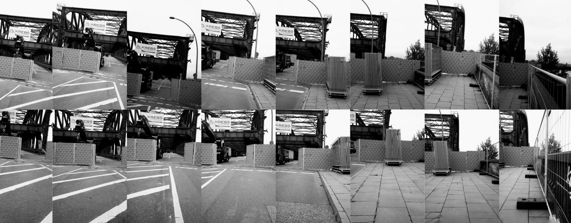
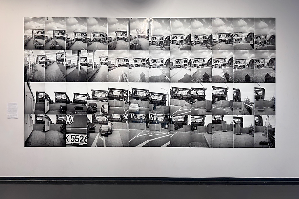
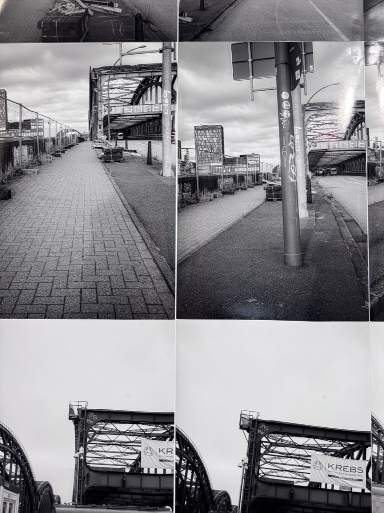
In the manner of a technical geographical record, the artist used a small point-and-shoot camera to survey the Elbe bridges—which had served as the only direct link between the Veddel district and the city, but were closed indefinitely due to structural damage. The process involved capturing sequences of individual images: one set taken at navel height, and a second set with the camera held at arm’s length above the head. These surveys were conducted from both northern and southern vantage points.
VERMESSUNG EINER UNTERBROCHENEN VERBINDUNGSMÖGLICHKEIT
Wie eine technische geografische Aufzeichnung vermaß der Künstler mit einer kleinen Point-and-Shoot-Kamera die wegen Beschädigung langfristig gesperrten Elbbrücken, die die einzige direkte Verbindung der Veddel mit der Stadt bildeten. Es wurden einzelne Aufnahmen in Sequenz auf Bauchnabelhöhe sowie eine zweite Sequenz mit ausgestrecktem Arm über dem Kopf aufgenommen. Je eine Vermessung wurde aus nördlicher und aus südlicher Position gemacht.
© Photos: Michael Kress / VG Bild / 2026


